
Leaving the bustle of Tehran behind and heading east on the old Khorasan road, the landscape shifts within an hour from suburban sprawl to open desert sky. Garmsar Plain stretches across the western edge of Semnan province like a pale canvas between two mountain chains, and its stillness is the first thing that strikes you. This is not the dramatic dune country of central Iran. It is a low, wide basin where the earth flattens into salt crusts and seasonal wetlands, where the wind carries dust from dried riverbeds, and where the traces of four tribal confederations still shape the cultural geography of the region.
For travelers passing through Semnan province, the plain is both destination and threshold. It sits at the crossroads of the central desert, the Alborz foothills, and the road to Khorasan, making it a natural staging point for longer journeys. Yet it also rewards visitors who stop long enough to walk its edges at dusk, watch the light change across the salt flats, or visit the caravanserais that mark the old royal hunting routes.
Geological Character of the Plain
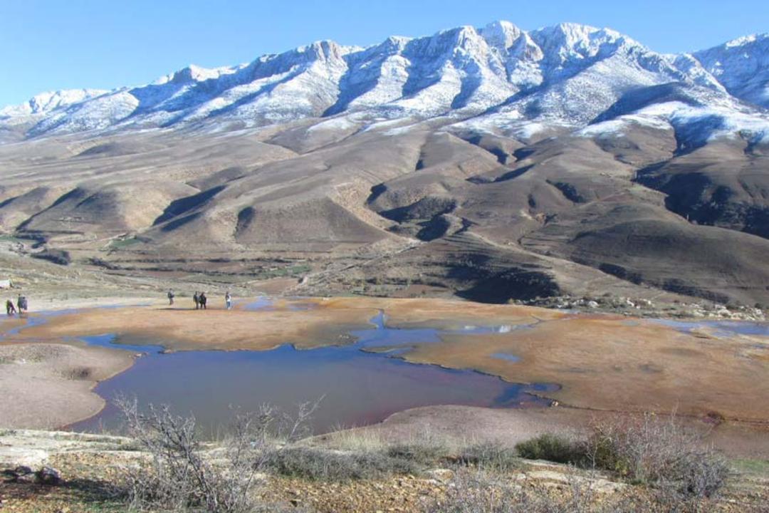
From a geological standpoint, Garmsar Plain divides into two distinct zones. The northern section consists of alluvial fans washed down from the Alborz foothills over thousands of years, while the southern section tilts toward the central desert and contains extensive salt marshes and seasonal playas. The plain runs roughly 48 kilometers from east to west and 27 kilometers from north to south, covering an area that geologists classify as a closed basin with no permanent surface drainage.
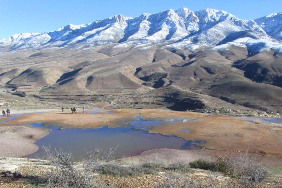
During spring and early summer, shallow pools form in the lower depressions, attracting migratory birds and transforming parts of the plain into temporary wetlands. By late summer, these pools evaporate completely, leaving behind crusts of salt and mineral deposits that give the ground a cracked, moon-like appearance. The contrast between the green fringes near seasonal streams and the white salt pans just a few kilometers away is one of the plain's most striking visual features.
The surrounding hills contain sedimentary rock formations dating back to the Cretaceous period, and the exposed strata along the road cuts reveal layers of limestone, marl, and shale. Fossil hunters occasionally find ammonite shells in the hills north of the plain, though collecting is regulated by Iran's Cultural Heritage Organization.
Nomadic Heritage and Tribal History
What makes Garmsar Plain culturally distinctive is its long association with four major tribal groups, known locally as the four il. These confederations, including branches of the Qashqai-related tribes and local pastoral communities, have used the plain as seasonal grazing ground for centuries. Their spring and autumn migrations across the plain were among the last major nomadic transhumance routes in central Iran, and although motorized transport has largely replaced the old foot trails, the cultural memory remains strong.
Visitors traveling through the plain in late spring may encounter small clusters of black tents near the northern foothills, where families still spend the warmer months tending livestock. The hospitality of these communities is well known across Semnan province, and a respectful stop for tea or a conversation about the old migration routes can be one of the most memorable parts of a visit.
Qasr-e Bahram Caravanserai
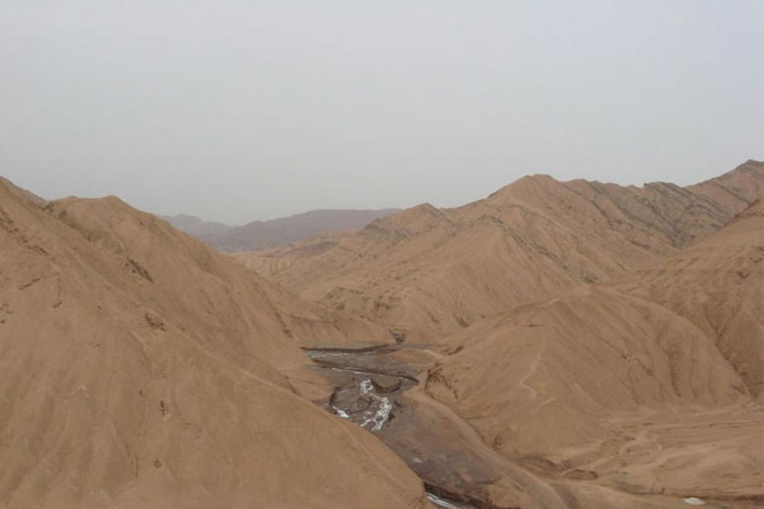
The most important historical monument on or near Garmsar Plain is Qasr-e Bahram Caravanserai, also known as Rabbat-e Siah Kooh. This Safavid-era structure sits on the southern edge of the plain and takes its popular name from Bahram, a ruler who reportedly hunted in the surrounding steppe. The caravanserai served travelers on the Tehran to Khorasan route for centuries, offering shelter, water, and security to merchant caravans crossing the desert.
Built from local stone and mudbrick, the caravanserai features a central courtyard surrounded by arched iwans and storage rooms. Its robust walls and corner towers are typical of Safavid military architecture along the desert highways. Restoration work in recent decades has stabilized the main structure, and the site is now one of the most visited historical attractions in Garmsar county. Entry is free, and the best time to visit is late afternoon, when the low sun casts long shadows across the courtyard and the stone walls take on a warm ochre color.
Salt Flats and Desert Walking
The salt pans of Garmsar Plain are not as large or as famous as those of the Dasht-e Kavir further south, but they offer an accessible and photogenic desert experience without requiring specialized equipment or guides. In the dry season, the salt crust is firm enough to walk on in most areas, and the geometric patterns of the drying mud create striking abstract compositions that attract photographers.
Exercise caution near the edges of standing water in spring, where the surface can appear solid but conceal soft mud underneath. Wear sturdy shoes, bring plenty of water, and avoid visiting during the midday heat of summer when surface temperatures can exceed fifty degrees Celsius. Early morning and late afternoon are the safest and most rewarding times to explore the salt flats on foot.
How to Get There
Garmsar Plain lies approximately 90 kilometers southeast of Tehran and 75 kilometers west of Semnan city. The most direct route is via the Tehran to Semnan highway, with the plain visible from the road for much of the stretch between Garmsar city and the Qasr-e Bahram turnoff. By car, the journey from central Tehran takes about one hour and fifteen minutes in normal traffic conditions.
Public transport options include intercity buses from Tehran's South Terminal (Terminal-e Jonoub) to Garmsar, which run frequently throughout the day. From Garmsar city center, the plain and Qasr-e Bahram are reachable by local taxi. Mehyar Taxi operates in Semnan province and can arrange transfers from Garmsar to the plain and surrounding sites. For travelers coming from further afield, Semnan city has an airport with limited domestic connections, and Mehyar Hotels can assist with accommodation bookings in both Garmsar and Semnan.
Hours and Tickets
Garmsar Plain itself is an open landscape with no entrance fee or restricted hours. Access is unrestricted day and night, though visiting after dark is not recommended due to the lack of marked paths and the uneven salt crust surface. Qasr-e Bahram Caravanserai is generally open during daylight hours, and entry is free of charge. Allow approximately one to two hours to explore the caravanserai and its immediate surroundings.
Nearby Sites and Tips
The drive between Tehran and Garmsar passes through the Varamin Plain, an important agricultural zone, and offers views of the ancient site of Tappeh Mil-e Varamin. Garmsar city itself has a small but pleasant bazaar and several local restaurants serving regional dishes such as ash-e reshteh and various rice preparations.
Bring sunscreen, a wide-brimmed hat, and more water than you think you will need when visiting the salt flats. The plain is exposed with very little shade, and dehydration can set in quickly even in mild weather. Spring (March to May) and autumn (September to November) are the best seasons to visit, offering comfortable temperatures and the possibility of seeing migratory birds in the wetland areas. A visit to Garmsar Plain combines easily with a day trip to Qasr-e Bahram and the surrounding desert landscape of western Semnan province, making it an excellent stop on any central Iran road trip.