
Few Iranian provinces pack so much geological variety into a single border. Ardabil stretches across 17,952 square kilometres of volcanic summits, high-altitude freshwater lakes, salt flats, and ancient river valleys, all wedged between the Republic of Azerbaijan to the north and the provinces of East Azerbaijan, Zanjan, and Gilan. The capital city of Ardabil sits in a broad valley east of Mount Sabalan, and the landscape around it changes dramatically with every season. If you are looking for a corner of Iran that feels more alpine than arid, this is the place to start.
Where Is Ardabil Province?
Ardabil occupies the far northwest of the Iranian plateau. Roughly two-thirds of its territory is mountainous, with an average elevation around 2,300 metres above sea level. The province shares its northern frontier with the Republic of Azerbaijan, where the Aras River carves a wide boundary through fertile lowland. To the east lie the highlands of East Azerbaijan Province, Zanjan sits to the south, and the lush forests of Gilan stretch westward toward the Caspian coast. The city of Ardabil itself rests at about 1,500 metres in a sheltered valley, making it one of the cooler provincial capitals in Iran.

Mount Sabalan: Iran's Third Highest Peak
No discussion of Ardabil's natural geography can begin anywhere except Mount Sabalan. At 4,811 metres, Sabalan is the third tallest mountain in Iran after Damavand and Alam-Kuh. It is a dormant stratovolcano, and its most distinctive feature is a summit crater that holds a small permanent lake, frozen for much of the year. The mountain dominates the skyline west of Ardabil city and is visible from kilometres away on clear mornings.
Sabalan holds deep cultural significance in the region. Local legends associate the mountain with the prophet Zoroaster, and the peak has long been a site of spiritual reverence. The slopes support alpine meadows at mid-elevation, giving way to permanent snowfields above 4,000 metres. Several glacial streams originate on Sabalan's flanks, feeding valleys that are green and lush through the short summer.
The standard climbing route begins from the village of Shervan Dareh, accessible from Meshkinshahr on the eastern side of the mountain. The ascent typically takes two to three days, with the second night spent near the summit at around 4,200 metres before a predawn push to the crater rim. The best climbing window runs from mid-June through early September, when snow coverage is at its minimum and the weather is relatively stable. Outside that window, the mountain is a serious winter alpine objective, requiring full cold-weather gear and avalanche awareness.
Neor Lake: A High-Altitude Freshwater Gem
About 48 kilometres southeast of Ardabil city, on the winding road toward Khalkhal, Neor Lake sits at roughly 2,500 metres above sea level. It is one of the highest freshwater lakes in Iran, fed by mountain springs and seasonal snowmelt. The lake covers approximately 2.1 square kilometres and is surrounded by alpine grassland and the dense forests of Fendoghloo, a protected woodland area that blankets the hillsides with oak, beech, and wildflower understory.
Neor is a popular destination for day trips from Ardabil, especially in summer when the temperature at the lake hovers around a pleasant 15 to 20 degrees Celsius. Local families picnic on the grassy banks, and anglers come for trout fishing. The surrounding Fendoghloo forest offers shaded walking trails and is particularly beautiful in late spring when wild tulips and poppies carpet the forest floor.
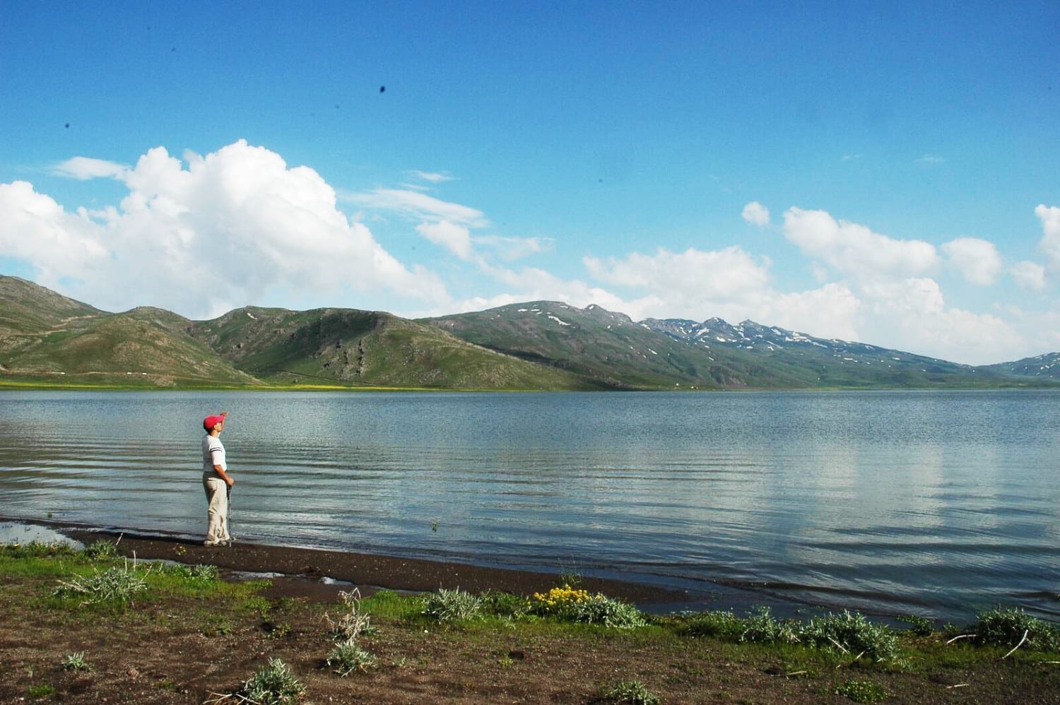
The drive from Ardabil to Neor Lake is itself a reward. The road climbs steadily through rolling pasture and then enters dense woodland, with views opening up over the lake basin as you approach. In autumn the beech and oak turn gold and copper, and the lake takes on a still, mirror-like quality that photographers prize.
Shourabil Salt Lake: Urban Wetland at the City Edge
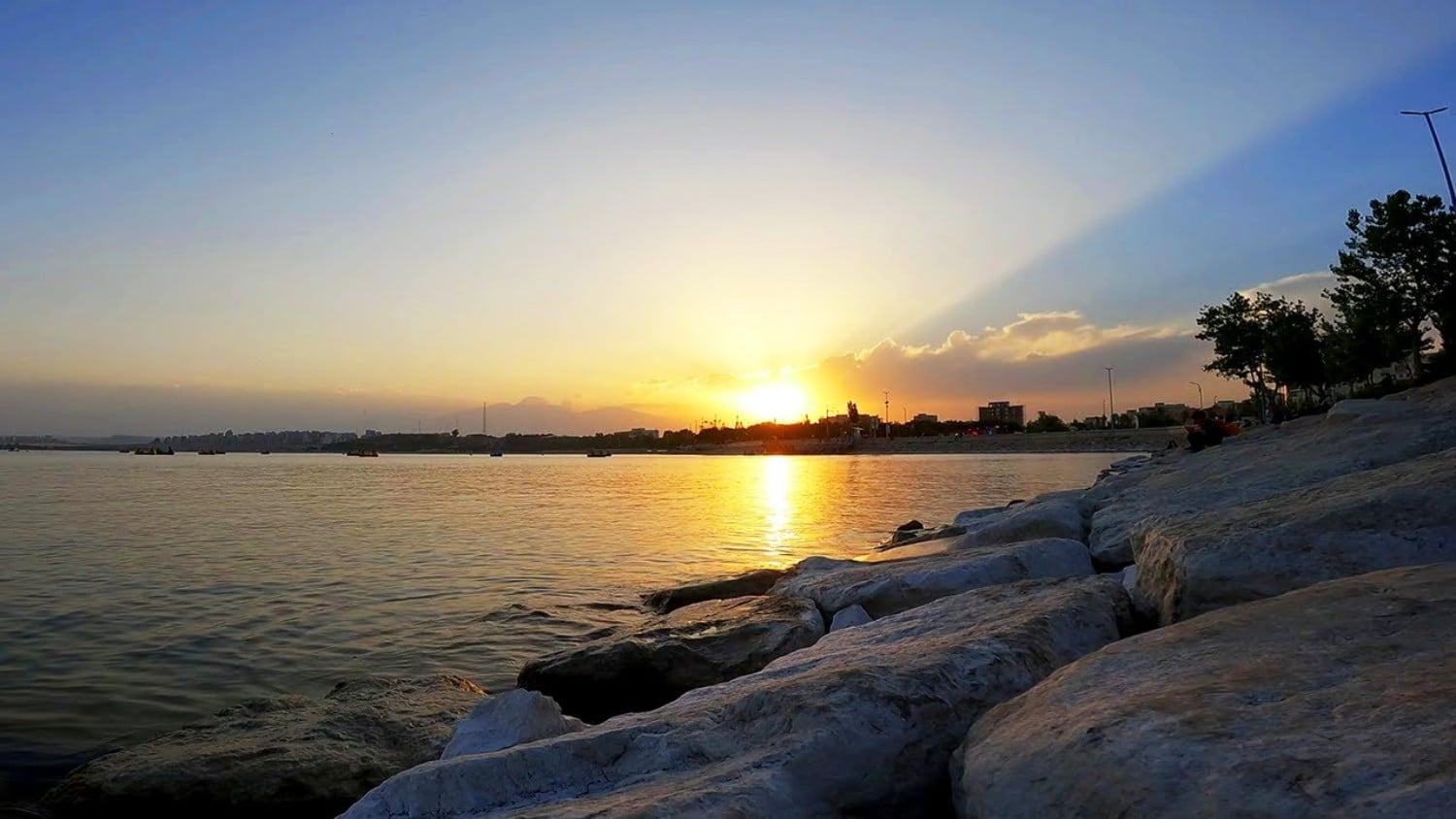
Back in Ardabil city itself, Shourabil Lake occupies a unusual position for a natural salt lake. It lies on the southern edge of the urban area, making it one of the few salt lakes in Iran that you can reach on foot from a city centre. The lake is shallow and hypersaline, with mineral concentrations that prevent most aquatic life from surviving. In winter, when temperatures plunge below minus 10 degrees in the city, the lake surface freezes solid and locals gather for ice skating and photography.
In recent years the municipality has developed walking and cycling paths around portions of the lake, and the area has become a popular evening destination for Ardabil residents. The salt flats around the lake edge create an otherworldly white crust in summer, a sharp contrast to the green parks on the opposite side of the city.
The Aras River: Northern Frontier
The Aras River is one of the longest rivers in the Caucasus and western Asia, stretching over 1,072 kilometres from its source in the mountains of Turkey to its confluence with the Kura River in Azerbaijan. Within Iran, it forms much of the northern border of Ardabil Province with the Republic of Azerbaijan. The river valley near the Khoda Afarin bridge offers striking scenery, with the river running wide and slow through agricultural lowland flanked by low hills.
The Khoda Afarin bridges, a pair of historic stone crossings dating to the eleventh and twelfth centuries, are among the most evocative spots along the Aras in Iran. The older bridge has eleven surviving arches and is one of the longest medieval bridges in the country. The surrounding area is quiet and rural, with villages that have changed little over centuries. Bird watchers visit the river corridor in spring and autumn, when migratory species pass through the wetland habitats along the banks.
Sarein and the Hot Springs of Sabalan
Just 25 kilometres west of Ardabil city, the town of Sarein is famous across Iran for its natural hot springs. The springs are fed by volcanic activity associated with Mount Sabalan, and the water emerges at temperatures between 20 and 80 degrees Celsius depending on the source. Sarein has been a bathing destination for centuries, and today it hosts a concentration of public bathhouses and resort hotels, each drawing from its own mineral-rich well.
The mineral content of Sarein's waters varies, but most springs are rich in calcium, magnesium, and sulphur compounds. Visitors come for both relaxation and traditional therapeutic bathing. The town is busiest on weekends and during the summer holiday season, when families drive up from Ardabil and from further afield. In winter, the contrast between the cold mountain air and the steaming outdoor pools is particularly memorable.
Climate and Best Seasons
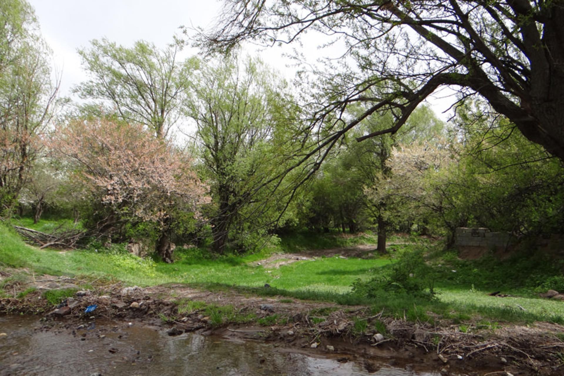
Ardabil has a cold semi-arid climate by classification, but the reality is more varied than any single label suggests. The province spans a wide elevation range, from the low Aras valley at under 500 metres to Sabalan's 4,811-metre summit, and conditions change accordingly. Average annual rainfall in Ardabil city is around 333 millimetres, with most precipitation falling as snow at higher elevations between November and March.
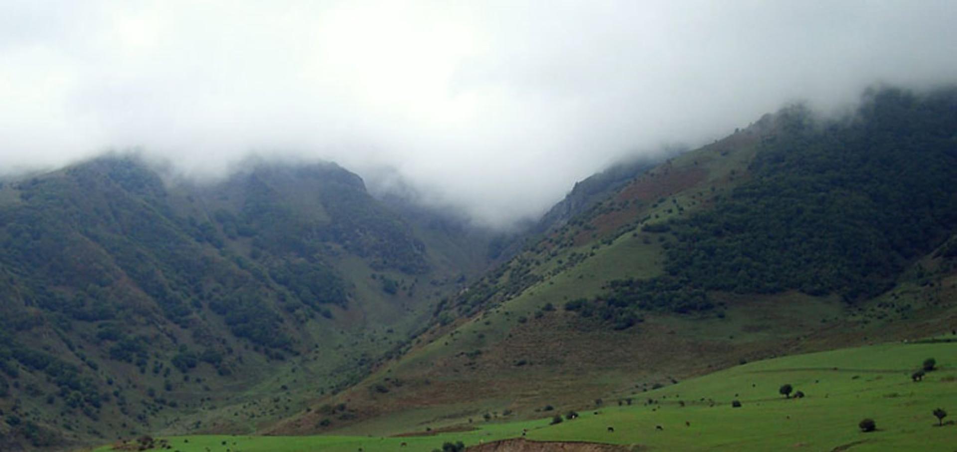
Summer temperatures in the city average around 25 degrees Celsius during the day, with cool nights. This is the peak season for outdoor activities, lake visits, and mountain trekking. Autumn brings early frosts to the highlands by October, and the forests around Neor Lake and Fendoghloo display brilliant colour before the first heavy snows. Winter in Ardabil is long and cold, with the city regularly experiencing temperatures below minus 10 degrees. The Alvares ski resort, on the northern slopes of Sabalan, operates from December through March and is one of Iran's better-known winter destinations.
Spring arrives late in Ardabil compared to the rest of western Iran. April and May bring wildflowers to the valleys and moderate temperatures that are ideal for sightseeing. The Mugan Plain in the northeast of the province, which runs down to the Aras, becomes a vast green carpet in spring, and is sometimes called the lost paradise of Ardabil for its beauty during this brief window.
How to Get There
The most common approach to Ardabil is from Tabriz, approximately 220 kilometres to the west. The drive takes about three hours on the main highway via Sarab. Buses and shared taxis connect Tabriz with Ardabil throughout the day, departing from Tabriz's central bus terminal. From Tehran, the distance is roughly 580 kilometres, and overnight buses and trains are available, though the journey takes eight to ten hours.
Mehyar offers private transfers from Tabriz Airport to Ardabil, with the option to stop at points of interest along the way. The road from Tabriz crosses the highlands of East Azerbaijan, passing through Sarab, known for its own cluster of hot springs, before descending into the Ardabil valley.
Within the province, a private car or hired driver is the most practical way to reach Neor Lake, Sarein, and the Aras River bridges. Local taxis operate between Ardabil and Sarein on a frequent basis. For the more remote destinations such as the Khoda Afarin bridges or the climbing routes on Sabalan, arranging a round-trip driver from Ardabil is the standard approach.
Practical Details
- Province area: 17,952 sq km
- Highest point: Mount Sabalan, 4,811 m
- Major lakes: Neor Lake (freshwater, 2,500 m), Shourabil Lake (salt, city edge)
- Major river: Aras River (northern border)
- Average rainfall: 333 mm per year (Ardabil city)
- Climate: cold semi-arid; long winters, mild summers
- Nearest hub: Tabriz, 220 km west (approximately 3 hours by road)
- Best season: June to September for mountains and lakes; December to March for skiing and hot springs
- Nearby attractions: Sarein hot springs (25 km), Alvares ski resort, Fendoghloo forest, Khoda Afarin bridges
<!--
mehyar:practical-facts
slug: ardebil-natural-geography
type: destination
nearest_city: ardabil
province: ardabil
best_season: summer, spring
entry_fee: free (natural areas); Sarein bathhouses charge per visit
estimated_visit_hours: full day to multi-day
transport_options:
- private_transfer
- bus
- car
- hired_driver
nearby_attractions:
- sabalan-mountain
- neor-lake
- shourabil-lake
- aras-river
- sarein-hot-springs
- fendoghloo-forest
- khoda-afarin-bridges
- alvares-ski-resort
keywords:
- ardabil geography
- mount sabalan
- neor lake
- aras river iran
- ardabil nature
- sarein hot springs
- shourabil lake
- findoghloo forest
-->