
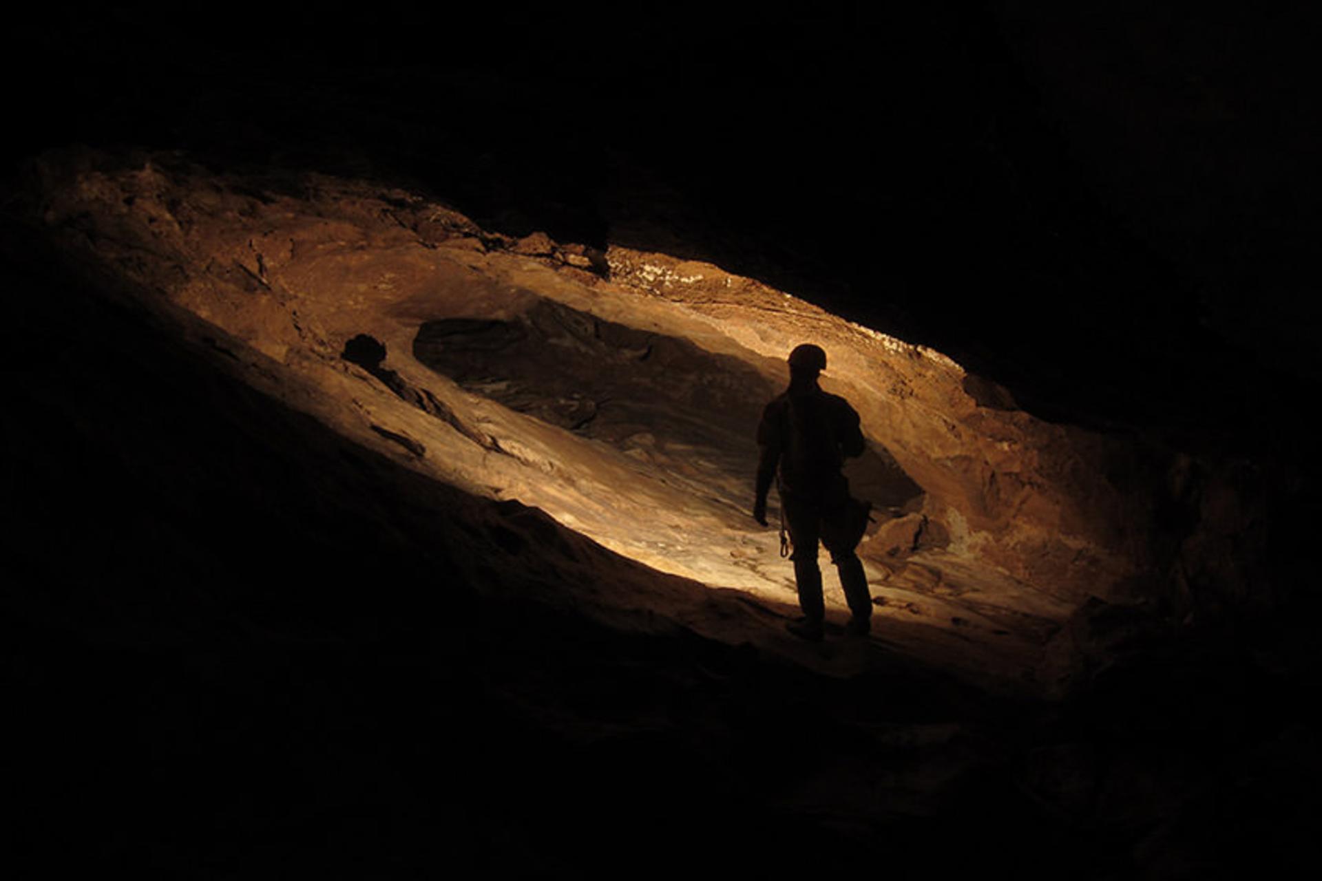
The Zagros Mountains that run through western Iran hold some of the most important prehistoric sites in the Middle East, and nowhere is this underground heritage more concentrated than in Kermanshah province. Here, carved into limestone cliffs and hidden behind forested slopes, a series of caves preserves evidence of human habitation stretching back tens of thousands of years. These are not show caves with electric lighting and paved walkways. They are raw, atmospheric chambers where archaeologists have uncovered some of the earliest traces of human life on the Iranian plateau, where Paleolithic hunters once sheltered from Zagros winters, and where dripstone formations still grow in near-darkness. For travellers drawn to archaeology, geology, or simply the thrill of stepping underground, the caves of Kermanshah offer an experience that the guidebooks rarely mention.
Where Are the Caves of Kermanshah?
Kermanshah province sits in the central Zagros, bordering Iraq to the west. The province's terrain is a series of parallel ridges and valleys, formed by the same tectonic forces that continue to push the Arabian plate against the Eurasian. The limestone bedrock, deposited in ancient tropical seas hundreds of millions of years ago, is ideal for cave formation. Water percolating through cracks in the rock has dissolved vast underground chambers over geological time, creating the conditions for the dozens of caves now documented across the province.
The most significant caves cluster in three areas: the valleys around the town of Ravansar to the north of Kermanshah city, the slopes of the Paraw Mountains east of the provincial capital, and the deeper Zagros valleys near the Iraqi border. Most are reachable by road from Kermanshah city within an hour or two, though some require a hike of several kilometres from the nearest vehicle access point.
Ghār-e Anār: The Pomegranate Cave
The best known of the Kermanshah caves is Ghār-e Anār, the Pomegranate Cave, located roughly 40 kilometres northwest of Kermanshah city near the village of Qazvin. The cave takes its name from the wild pomegranate trees that grow at its entrance. Ghār-e Anār is one of the longest caves in Iran, with explored passages extending several kilometres into the limestone massif.
The cave's main chamber is impressive: a vaulted space where stalactites hang from the ceiling like frozen water drops, and the floor is covered with flowstone formations in shades of cream and amber. The passage narrows and widens as it descends, with some sections requiring visitors to crouch or crawl. Bats inhabit the deeper reaches, and the air grows cool and still well before you reach the limits of explored ground.
Archaeological surveys in the cave and its surroundings have revealed evidence of human use during both the Paleolithic and Islamic periods. The entrance area shows signs of temporary occupation, likely by nomadic herders who used the cave as shelter during seasonal migrations.

Ghār-e Mardoudar: The Man-Keeping Cave
Ghār-e Mardoudar, sometimes called the "Man-Keeping Cave," is another significant cave in the Kermanshah region. Located in the same limestone belt as Ghār-e Anār, it is smaller but archaeologically richer. Excavations in the 1960s and subsequent surveys uncovered stone tools, animal bones, and traces of fire use that date to the Middle Paleolithic period, roughly 40,000 to 70,000 years ago. These finds place Ghār-e Mardoudar among the most important prehistoric sites in western Iran.
The cave entrance faces south, catching winter sun and sheltering from the prevailing winds. This aspect, combined with its proximity to water sources in the valley below, would have made it an attractive shelter for Neanderthal groups moving through the Zagros during the last ice age. The stone tools recovered from the site, primarily flake scrapers and points made from local chert, are consistent with Mousterian technology, the stone tool tradition associated with Neanderthals across Europe and western Asia.
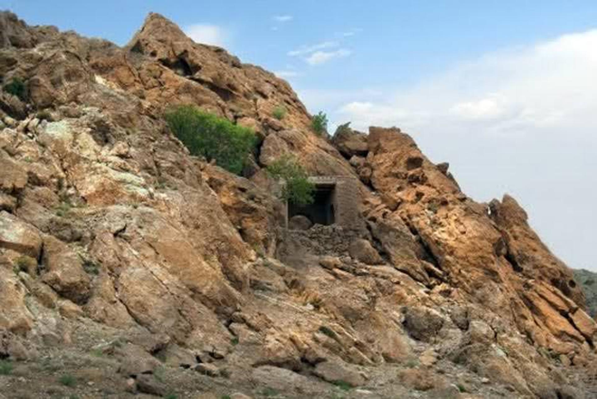
Visitors to Ghār-e Mardoudar today will find a modest entrance in a cliff face surrounded by oak woodland. The interior is not developed for tourism, so a flashlight, sturdy footwear, and local guidance are essential. The archaeological layers remain largely intact, protected by the cave's remoteness and the difficulty of access.
Ghār-e Shekarchiān: The Hunters' Cave
Ghār-e Shekarchiān, the Hunters' Cave, takes its name from the animal remains found within its chambers. Located in the mountains south of Kermanshah city, this cave was used by prehistoric hunters who processed their kills within its sheltered interior. Faunal analysis of the bones recovered from the site reveals a fauna of ice age animals, including wild goats, sheep, and deer, species that still inhabit the Zagros today alongside wild boar and, in the remoter valleys, brown bear.
The cave is one of several in the Kermanshah region that provide a window into the hunting strategies of Paleolithic communities. The concentration of animal bones, combined with stone butchering tools, suggests that the cave served as a processing site where hunters brought their kills to be divided and partially cooked before being carried back to camps in the valley.
The Paraw Mountains Cave Belt
East of Kermanshah city, the Paraw Mountains rise sharply from the plain and contain a series of smaller caves and rock shelters that have been less thoroughly studied but no less promising. These caves dot the limestone cliffs at various elevations, many visible only from specific angles on the valley floor. Local shepherds have used them for generations as night shelters for their flocks, and oral traditions in the area speak of underground passages connecting caves across entire mountain faces.
Geological surveys suggest that the Paraw range contains some of the most extensive unmapped cave systems in Iran. The limestone here is thick-bedded and heavily fractured, allowing water to carve complex multi-level cave systems over millions of years. Spelaeological expeditions from Iranian and international teams have begun mapping some of these passages, but the full extent of the underground network remains unknown.
The Broader Archaeological Context
The caves of Kermanshah do not exist in isolation. They form part of a broader landscape of prehistoric sites that makes this province one of the most important regions for understanding early human occupation of the Iranian plateau. Nearby Bisotun, a UNESCO World Heritage Site famous for its Achaemenid rock inscription, also contains evidence of much earlier human activity in its cave shelters. The Tagh-e Bostan rock reliefs, carved into a cliff face beside a spring, occupy a site that may have held ritual significance long before the Sasanian kings commissioned their monumental carvings.
This deep time perspective is what makes the Kermanshah caves so compelling. They are not simply geological curiosities but chapters in the story of how humans have inhabited this part of the world for at least 40,000 years, adapting to ice ages, climate shifts, and the rise and fall of empires, always returning to the shelter that the Zagros limestone provides.
Getting to the Caves
By car. The caves are accessible from Kermanshah city via rural roads. Ghār-e Anār is about 40 kilometres northwest of the city. Ghār-e Mardoudar and Ghār-e Shekarchiān are at varying distances to the south and east. A high-clearance vehicle is recommended for some approaches, particularly after rain.
By Mehyar Taxi. Open Mehyar, choose Taxi, and set your destination to the cave you wish to visit. A private car from Kermanshah city gives you flexibility to visit multiple cave sites in a single day, with time to stop at Bisotun or Tagh-e Bostan along the way.
By Mehyar Buses. Intercity buses connect Tehran and other major cities to Kermanshah. From the city, local taxis and shared transport can reach the cave trailheads.
By organised tour. Some adventure tourism operators in Iran offer caving and archaeological tours of the Zagros, typically combining cave visits with the major historical sites of Kermanshah province. These tours provide equipment, local guides, and archaeological context.
When to Visit
The best time to visit the caves of Kermanshah is spring, from March to May, when the Zagros slopes are green with wildflowers, the weather is mild, and water sources are flowing. Autumn, from September to November, is also pleasant, with clear skies and comfortable temperatures. Summer can be very hot on the exposed approaches, though the cave interiors remain cool. Winter brings snow to the higher elevations and can make access roads impassable, though the lower caves remain accessible in mild spells.
Practical details
Province: Kermanshah, western Iran
On the map: OpenStreetMap / Google Maps
Hours, access conditions, and road status change. Confirm locally before visiting. Some caves require a local guide and proper equipment.
Start your Kermanshah trip with Mehyar
Whether you are exploring the underground heritage of the Zagros or visiting the ancient rock reliefs of Bisotun and Tagh-e Bostan, Mehyar helps you move through western Iran with confidence. Use Mehyar Taxi for rides from Kermanshah city to cave trailheads. Book intercity travel with Mehyar Buses. A Mehyar SIM keeps you connected even in remote Zagros valleys.
Plan your Kermanshah adventure at mehyar.app.